
The serpents are rising! A new challenge is about to come! An incredible journey from Ljubljana to Trieste through the most beautiful paths of Slovenia and Croatia.
From the Slovenian forestry gravel roads to the rocky Croatian trails, a journey that will show you the diversity of various natural and urban environments. Embrace the Coratian seaside and the national parks in the Istra region right before finishing in the mesmerising Italian town of Trieste!
Start / Ljubljana (SL)
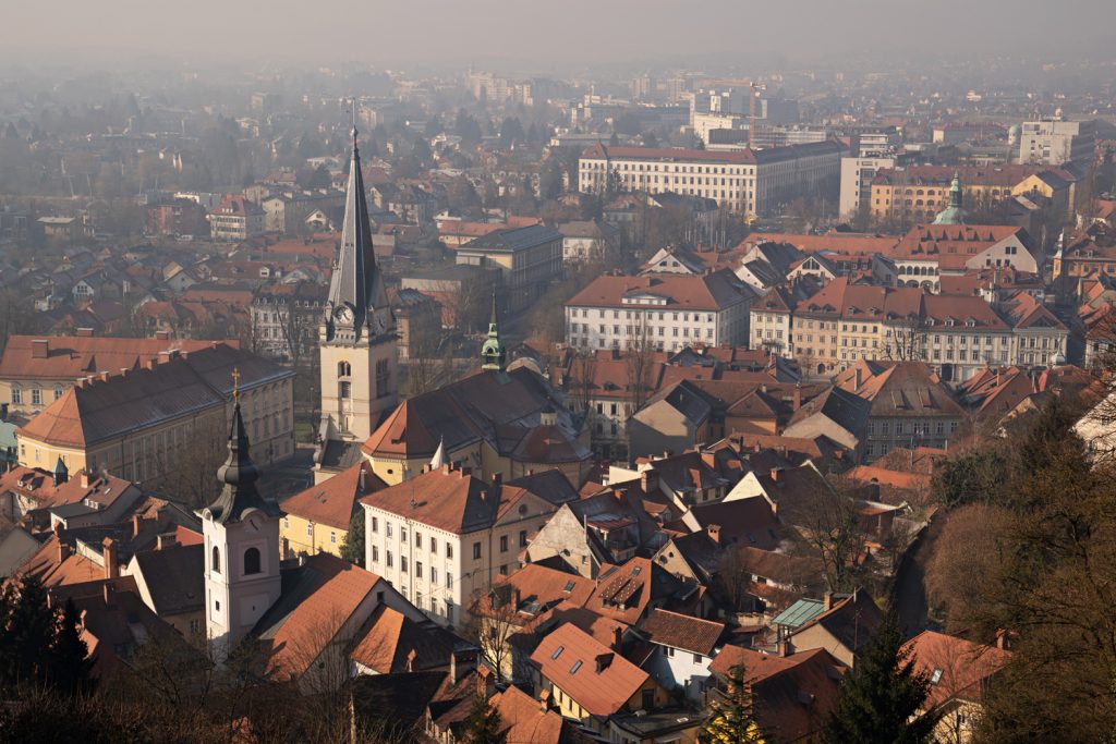
The capital city of Slovenia, it retains traces from all periods of its rich history. From the legacy of Roman Emona; through the Renaissance, Baroque and Art Nouveau periods; here is where eastern and western cultures met giving life to this unique place.
The symbol of the city is the Ljubljana Dragon. It symbolises power, courage, and greatness; characteristics that riders will need to complete this demanding route.
The Ljubljana Dragon as Slavic myth, Greek legend or Christian symbol for the old ancestral paganism; for us it represents the essence of the adventure. Where fantasy meets reality is where our Seven Serpents route begins!
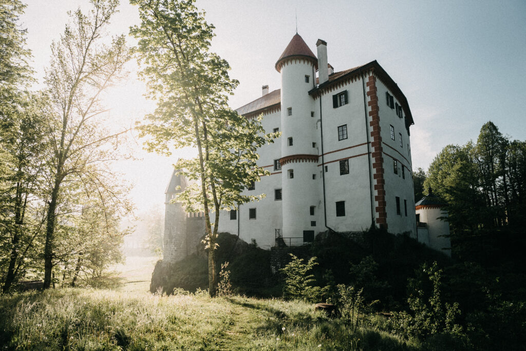
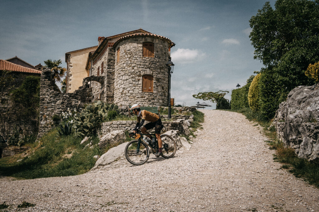
Predjama Castle (SL)
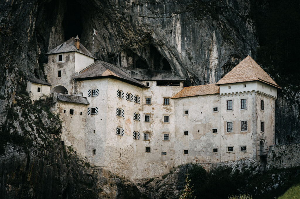
Predjama Castle is a medieval fortress nestled in the picturesque landscape of Slovenia, built into the mouth of a cave in the rocky cliffs. Located near the town of Postojna, this iconic castle is renowned for its dramatic setting and architectural ingenuity. The castle appears to cling to the sheer rock face, creating a captivating and formidable sight. Originally constructed in the 13th century, it was later expanded and renovated in the Renaissance style. Predjama Castle is famous for its connection with the legendary knight and robber baron, Erazem of Predjama, whose daring exploits are part of its storied history. Visitors can explore the castle’s chambers, secret passages, and enjoy panoramic views of the surrounding countryside.
Sveta Trojica (SL)
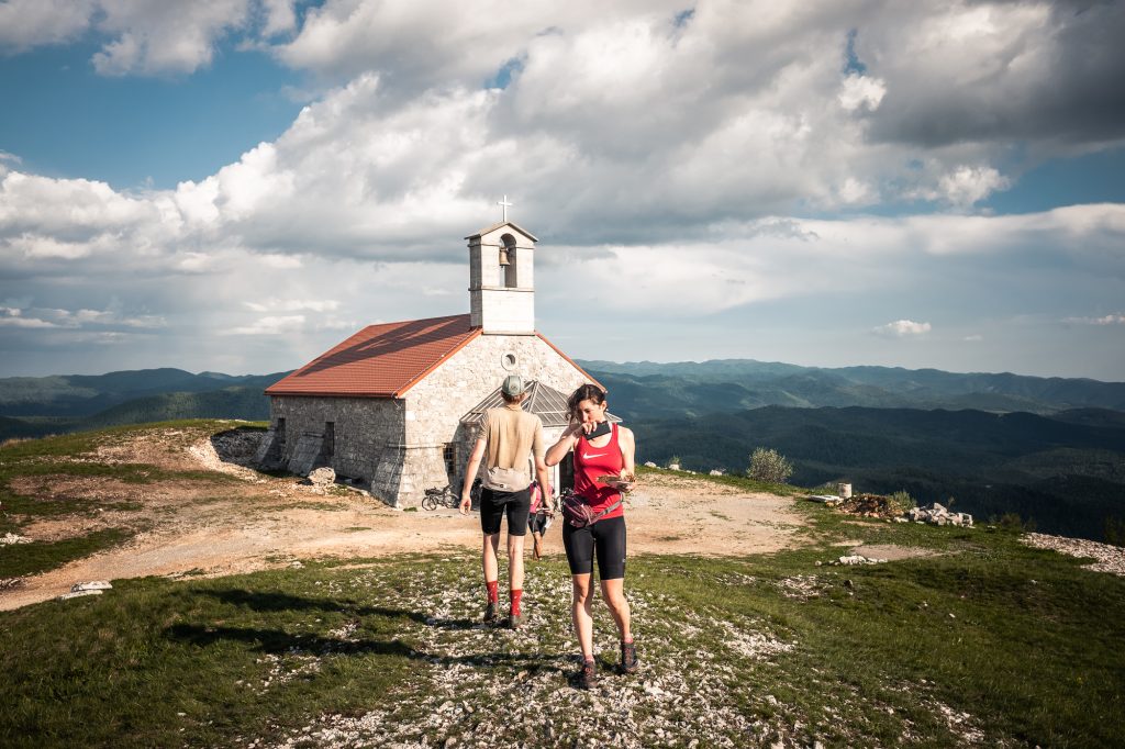
The Sveta Trojica (Holy Trinity) Hill with its 1123 metres of altitude, is a panoramic peak which is situated southwest from Javorniki. It proudly towers over the Pivka Basin. The panorama is beautiful and offers a view across the entire Pivka Basin and the nearby peaks of Snežnik, Nanos, Vremščica and Planinska gora.
On a clear day, it is possible to see all the way to the Adriatic Sea. The top of the hill features the Pilgrimage Church of the Holy Trinity, which was already mentioned by Valvasor in the 17th century.
The church burned down sometime between 1786 and 1811 and was restored in 2009.
Cerkniško Jezero (SL)
Čerkniško Jezero, also known as Lake Cerknica, is a intermittent lake located in the Karst region of Slovenia. This unique lake is known for its seasonal variations, as it can expand during wet periods and almost completely disappear during dry spells. The lake is the largest intermittent lake in Europe and serves as a habitat for diverse flora and fauna. It is a fascinating natural phenomenon, attracting visitors with its ever-changing landscape and the opportunity to witness the dynamic interplay between water and the surrounding Karst environment.
Grad Snežnik (SL)
Grad Snežnik, or Snežnik Castle, is a charming medieval fortress located in the idyllic countryside of Slovenia. Situated near the town of Lož, this well-preserved castle stands amidst lush greenery, surrounded by a scenic landscape. Constructed in the 13th century and later renovated, the castle boasts a mix of architectural styles, including Renaissance and Baroque elements.Snežnik Castle is characterized by its romantic ambiance and picturesque setting. With its historical significance and captivating surroundings, Grad Snežnik offers a delightful experience for those interested in exploring Slovenia’s cultural and architectural heritage.
Guslica (HR)
Guslica (1490m/4888ft a.s.l.) is a mountain in the Dinaric Alps in Croatia.
We wanted this checkpoint to celebrate mother nature since this national park offers an amazing variety of flora and fauna. The park is home to mammals such as the brown bear, red deer, roe deer, chamois, wild boar, wolf, pine marten, stone marten, badger, weasel, squirrel and dormouse. The most important animal used to be the lynx, after which Risnjak got its name.
The lynx was exterminated during the 19th century but returned to Risnjak three decades ago, after a successful reintroduction project in neighboring Slovenia.
Lokve Lake (HR)
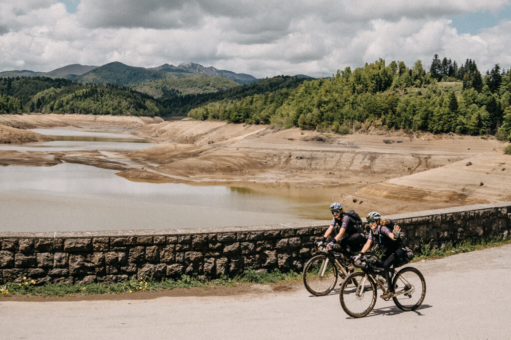
Lokve Lake is a picturesque artificial reservoir located in Gorski Kotar, Croatia. Surrounded by dense forests and nestled in a mountainous landscape, the lake is known for its tranquility and natural beauty. Popular for fishing and boating, Lokve Lake offers a peaceful retreat for nature enthusiasts. The surrounding area provides hiking trails, making it a favorite destination for those seeking a serene escape in the heart of Croatia’s scenic wilderness.
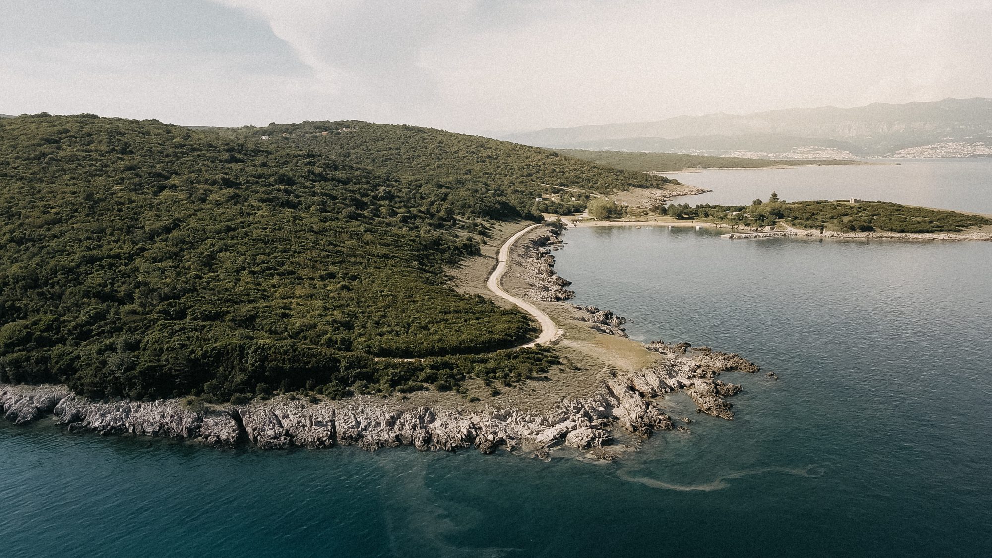
Stara Baška (HR)
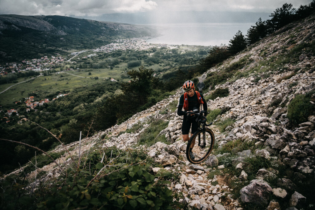
Stara Baška is a picturesque village located on the island of Krk in Croatia. Known for its stunning beaches, crystal-clear waters, and charming stone houses, it offers a tranquil escape for visitors. The village is rich in history, with remnants of ancient settlements and a unique cultural atmosphere. The “climb” from the new Baška is literally a trekking segment, it’s a one kilometre vertical climb with some hairpins at the end of it. The view from there it’s definitely worth the pain!
Village of Krk (HR)
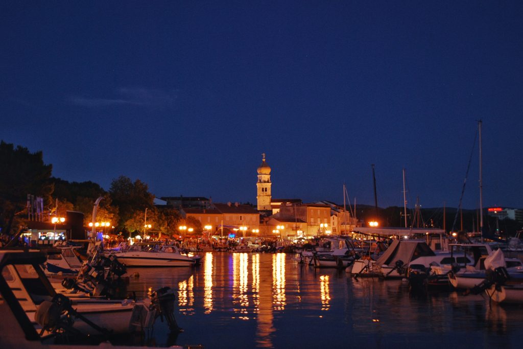
Krk Town, nestled on the beautiful island of Krk in Croatia, is an ideal destination for outdoor enthusiasts. This coastal town boasts a captivating blend of history and natural wonders. Explore the ancient streets, marvel at Venetian architecture, and venture along the lively waterfront promenade.
The city is ancient, being among the oldest in the Adriatic Sea. It has been continuously inhabited since ancient times including the Illyrians and later the Romans, and was once part of the Byzantine Theme Dalmatia after the Western Roman Empire had fallen to the barbarians. The main square of the old city is called Kamplin: which is derived from the Latin word “campus”, meaning field. During Roman times, a training area was located here close to the thermal Roman spas.
Village of Cres (HR)
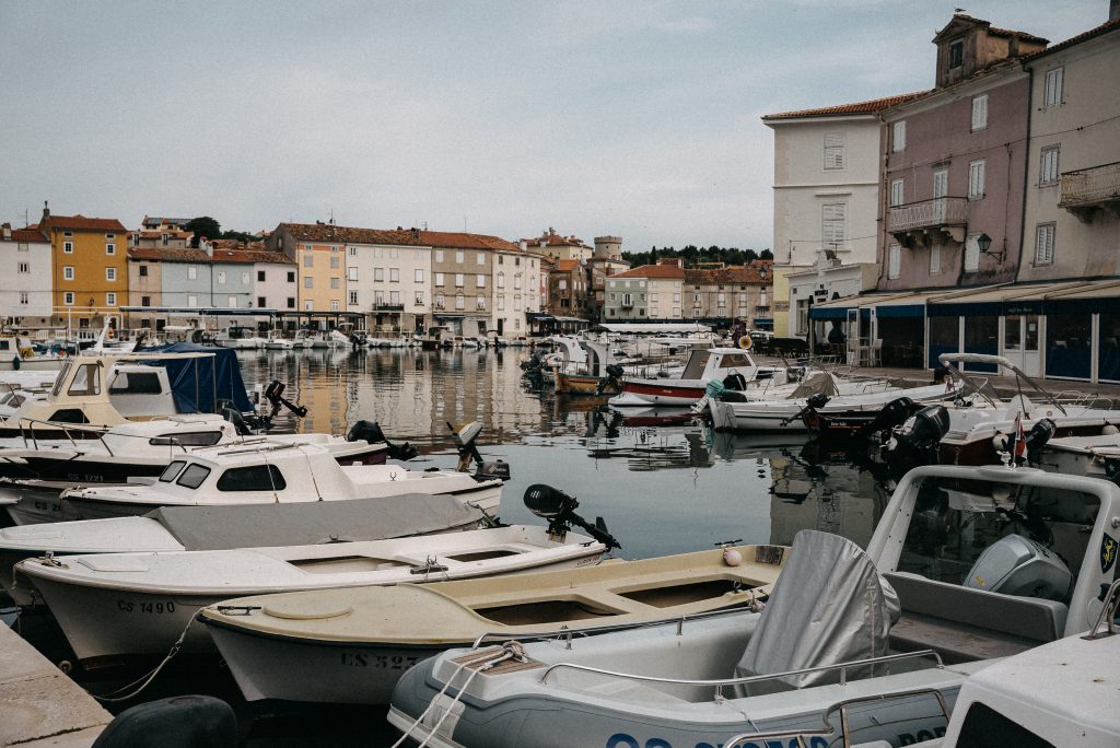
It is located in the north-eastern part of a wide snug bay which from ancient times served as a good shelter from storms. Thanks to its good position a modern marina with numerous berths was built to the south of the town. The bay is filled with nice bathing areas – the first beaches are only a few minutes away by walk from the city centre. Such a position lends itself to developing fishery, seafaring and shipbuilding through the centuries. The city is surrounded with fertile land which allows olive growing from which famous olive oil from Cres is made.
On the site of today’s city, there was a prehistoric stronghold, and then an ancient fortress – Crepsa. Until the arrival of the Croats in the 9th century, it was inhabited by Liburni, but there are traces of Greek, Roman and Byzantine presence.
Vojak Peak (HR)
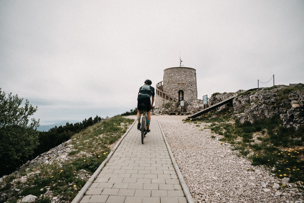
Set high in the Dinaric mountain range, within the Učka Nature Park, at its top a tower was placed, and functions as an observation tower, TV mast, lookout point, and an observation deck equipped with telescopes offering magnificent views of the surrounding landscapes. The breathtaking views from the tower looks upon the islands Krk, Losinj and Cres, Gorski kotar and Istria peninsula, the Bay of Trieste, the Julian Alps and the Adriatic islands, right down to Dugi Otok and even the Alps and Italy. The stone tower (observation tower) on the top was built by mountain climbers and nature enthusiasts in 1911. During World War I, it served as an Austro-Hungarian military and naval lookout post.
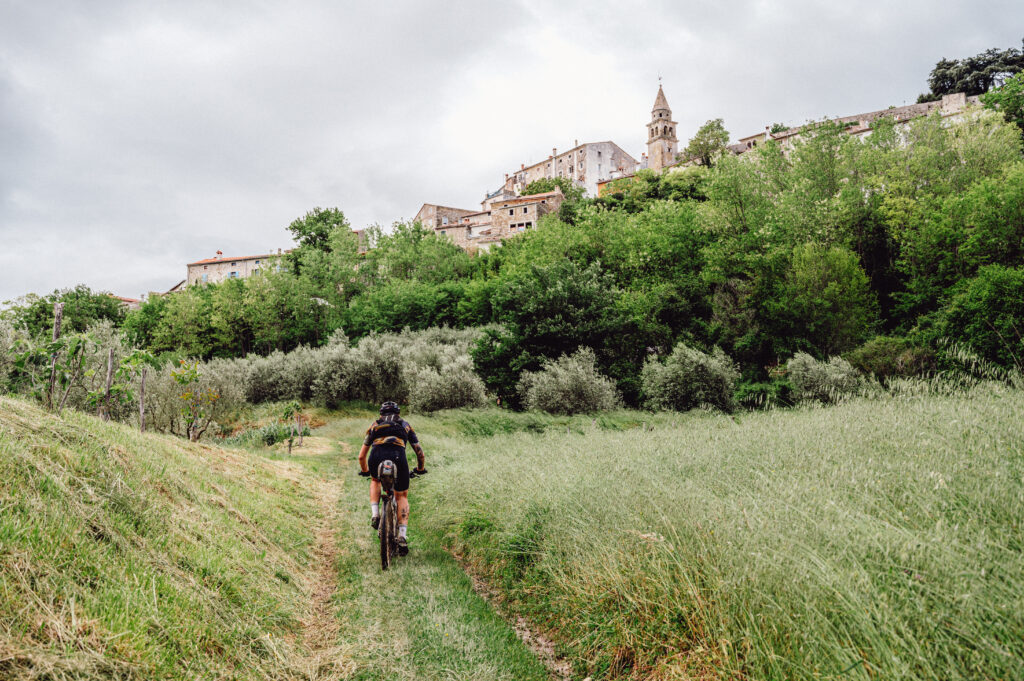
Hum Village (HR)
Hum, located in the amazing Istria region of Croatia, is often referred to as the “smallest town in the world.” This charming settlement is renowned for its diminutive size, preserved medieval architecture, and cobblestone streets. Visitors can explore historic landmarks like the Parish Church of St. Jerome and the Glagolitic Alley, which features ancient scripts. Hum offers a glimpse into Croatia’s rich cultural and historical heritage, making it a delightful destination for those seeking a small, atmospheric experience.
Motovun Village (HR)
Perched atop a hill in the Istrian Peninsula, Motovun stands as a captivating medieval town, offering panoramic views of the lush countryside. Encircled by well-preserved walls, this historic gem boasts cobbled streets, charming squares, and a distinct Venetian influence in its architecture. Renowned for the annual Film Festival and a truffle-rich culinary scene, Motovun beckons travelers with its cultural allure and scenic allure, making it a must-visit destination in the heart of Croatia.
Novigrad (HR)
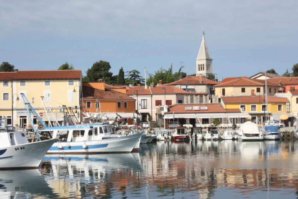
Novigrad, a captivating Croatian town nestled on the Adriatic coast, is a place where history meets the sea. This charming town, with a population of approximately 2.800, exudes an authentic and tranquil ambiance, setting it apart from Croatia’s more bustling tourist destinations. Novigrad’s allure lies in its well-preserved medieval character, characterized by cobblestone streets, ancient city walls, and red-roofed buildings. These historical elements create a captivating backdrop for exploration.
Novigrad’s coastal location means you’re never far from breathtaking sea views, and its pebbled beaches provide the perfect spots for relaxation. The town’s marina caters to sailing and boating enthusiasts, making it an attractive destination for nautical adventures.
Slavnik Peak (SL)
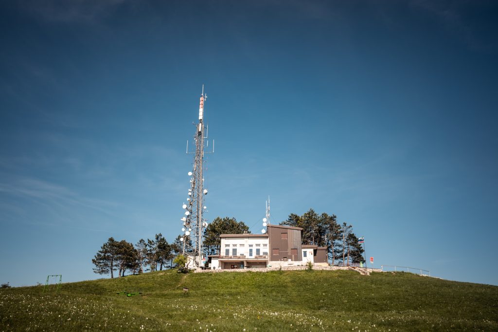
At 1,028 metres (3,373 ft) high, Slavnik is one of the highest peaks of Slovenian Istria. It is part of the Čičarija landscape. Tuma Hut on Slavnik, named after the mountaineer Henrik Tuma , stands about 10 metres (33 ft) below its peak. At its peak stands a broadcast transmitter.
It is distinguished by very broad panoramic view. In the direction of north-east one can see in the distance Kamnik-Savinja Alps and closer Nanos, Vremščica, Brkini. To the east one can see Javorniki, Trojica and Snežnik, in the distance also Gorski Kotar, Risnjak, Snježnik. From the east to the south there is Kvarner bay, before that Planik and Učka and Čičarija, as well as Istria. Towards the west one can see the coast of the Adriatic sea and places like Umag, Piran, Koper, Trieste, also Venice. From the west to the north one case see Dolomites, Julian Alps including the highest mountain in Slovenia Triglav, as well as the Karawanks.
Finish / Trieste (IT)
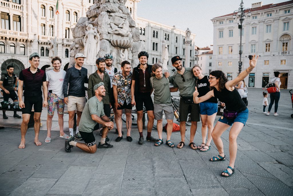
Is a city and seaport in northeastern Italy. It is located towards the end of a narrow strip of Italian territory lying between the Adriatic Sea and Slovenia.
The heart of the city is the most beautiful and most symbolic of all its squares, Piazza Unità d’Italia. The buildings around it perfectly summarise Trieste’s history. However, the most spectacular side of the square is the one facing the sea, from which a pier, the Molo Audace, extends for over two hundred metres.


